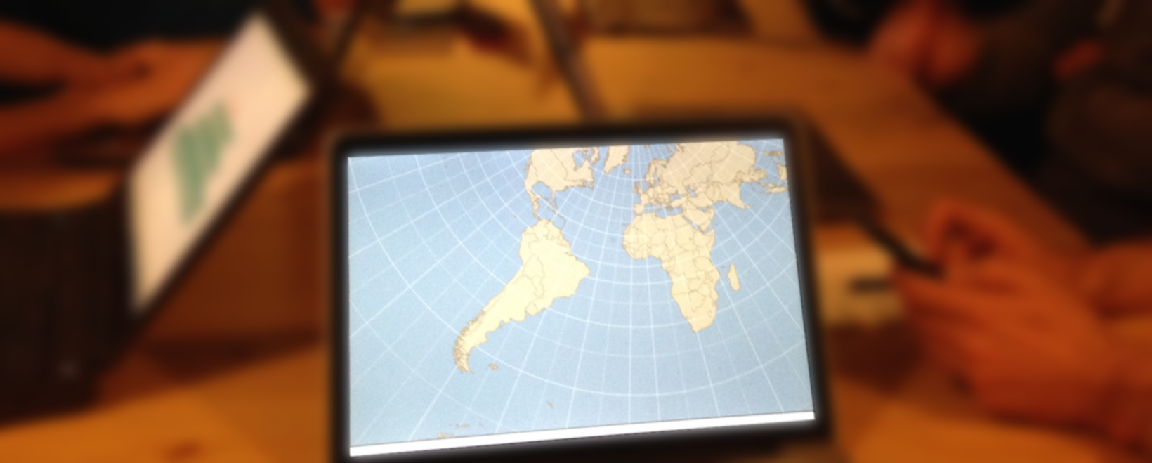
After the great presentation on d3js for spatio-temporal visualizations, we wanted to keep the momentum going and dive in with a hands-on d3 workshop. Since this is Maptime-Alpes, not Charttime-Alpes, we focused primarily on the geographic capabilities of d3.
Never ones to shy away from help, we borrowed heavily from MaptimeSea and maori.geek, as they had both done some great work on making d3 geospatial accessible, which is one of the primary hurdles in d3.
We did a review on the d3 components: Documents, Data, & Driven (by data), and then dove in with a simple tutorial and left time at the end to try and do some challenges to expand on what we had just learned.
Check out the tutorial if you weren’t able to attend the meeting, and see you next meeting for OSM humaritarian mapping!